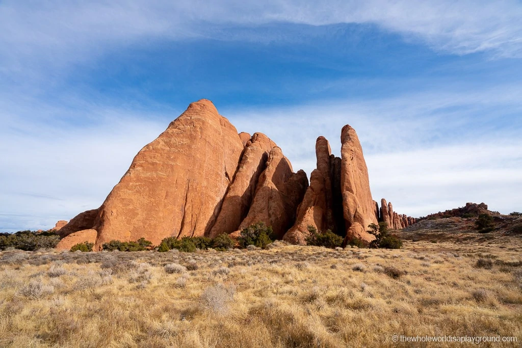
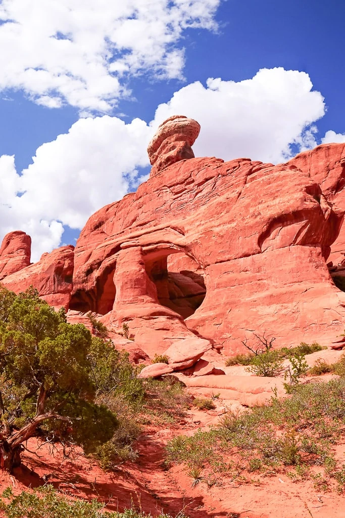
With its incredible rock formations and soaring arches, there are some incredible hikes in Arches National Park. From the iconic Delicate Arch and the sprawling Devil’s Garden to the easily reached Balanced Rock and Skyline Arch, we loved the variety of the hikes in the park.
For those of you planning a trip to Arches, we wanted to share our best hikes in Arches National Park.
Arches National Park Itinerary tip: remember, if you are planning to visit Arches between April 3 and October 3 2022 please be aware than a pilot timed entry system has been introduced during this period. See our Arches National Park itinerary for more details.
Hiking in Arches National Park
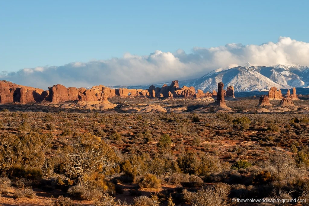
Located in Moab, Utah, Arches National Park is home to over 2,000 natural stone arches. In fact, it boasts the world’s largest concentration of natural sandstone arches. Soaring arches share the park with suspended bridges and windows peeking out of the rock. New arches are constantly forming and, occasionally, an existing arch will collapse.
The most iconic arch, Delicate Arch, is instantly recognizable from its appearance on Utah licence places.
Where to stay in Arches National Park/Moab
Most visitors to Arches stay in the nearby town of Moab. With its small-town feel and easy accessibility to Arches National Park, Canyonlands National Park and Dead Horse Point State Park, we loved our stay in Moab. Here are our picks for where to stay in Moab:
- Springhill Suites Moab: both the Springhill Suites and the Fairfield Inn Moab are perfectly located for visiting all the Moab parks. Both offer modern rooms and a decent breakfast and the two properties share an outdoor pool which is awesome for some post hike relaxation! – check prices now!
- Red Cliffs Lodge: set against the spectacular backdrop of towering red cliffs and the mighty Colorado River, Red Cliffs Lodge has a homely feel. Rooms are large and comfortable – check prices now!
- Devils Garden Campground: Arches only in park accommodation, the Devils Garden Campground has 51 sites. Sites can be reserved up to 6 months in advance from March through October. 25 sites are available on a first come first serve basis during the rest of the year.
The Best Hikes in Arches National Park
From the challenging hikes to the short and easy strolls, these are our 11 favorite hikes in Arches National Park!
1 | Delicate Arch
Hike Length: 3 miles in total out and back with almost 500-foot elevation gain along the way.
Hike Difficulty: the hike is rated as difficult by the National Parks Service. We found the hike itself relatively easy but, later in the trail, there are some paths exposed to a sheer drop. The difficulty is largely weather dependent: freezing temperatures make the trail slippery in winter and there is little escape from the high temperatures and strong sun in summer. Check out our guide on Arches National Park in Winter.
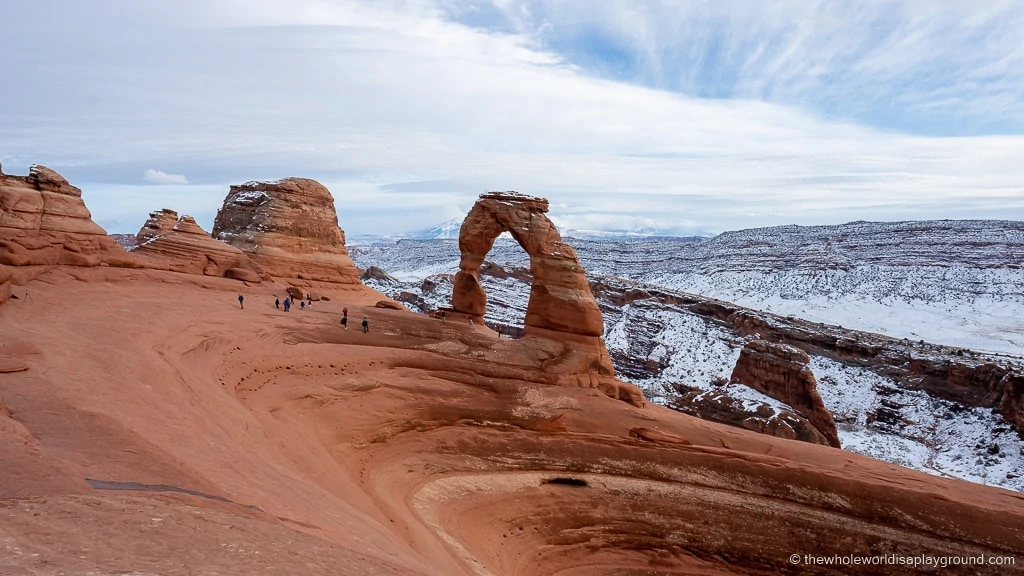
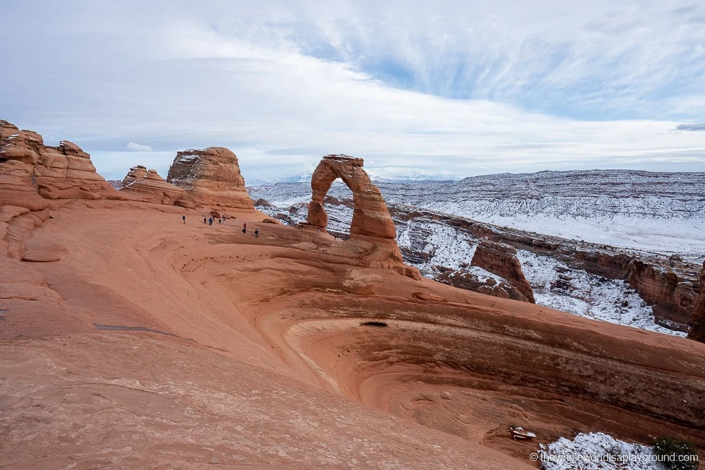
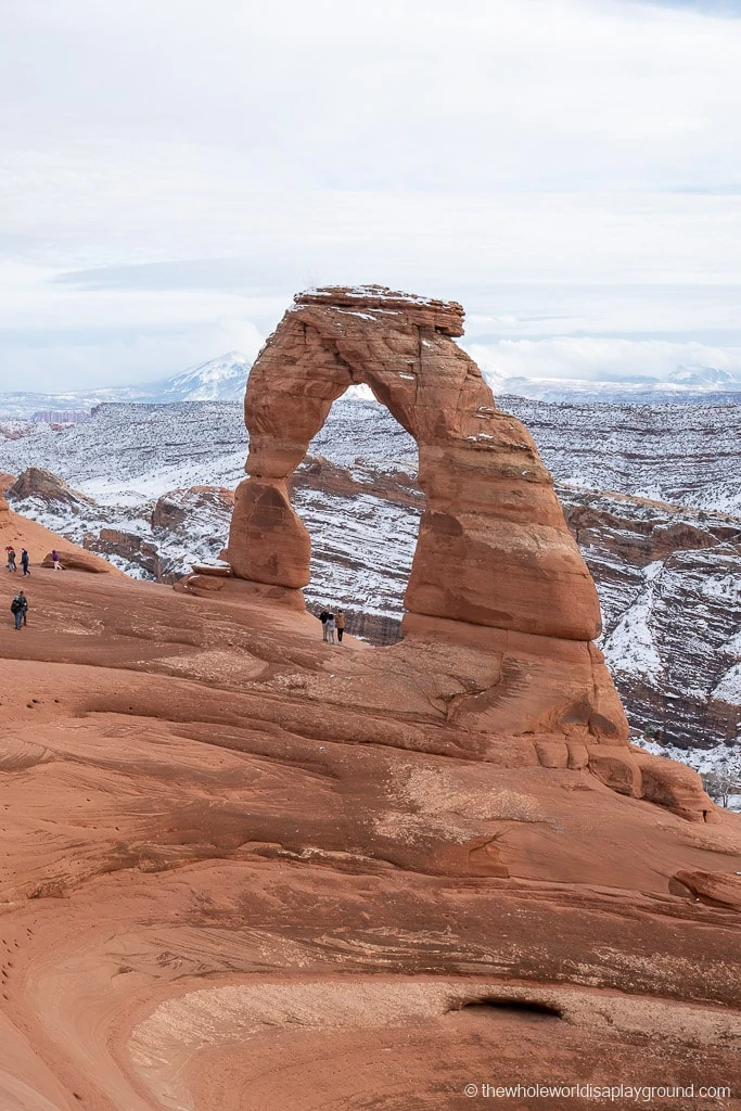
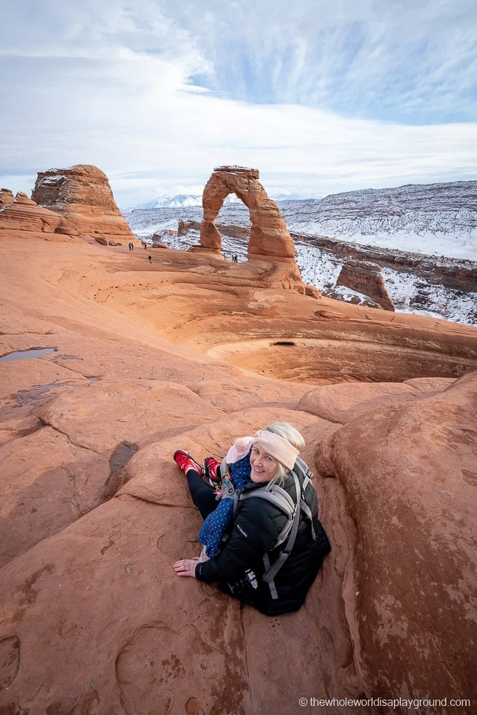
The 52 foot tall Delicate Arch is the largest free-standing arch in Arches National Park. It’s one of the most popular trails in the park and the arch itself is instantly recognizable from its appearance on Utah licence plates.
The hike leads across sandstone paths, slip rock and narrow paths through which there is some elevation gain. After navigating the final stretch, a narrow path with an exposed drop, you will reach the sloping rock amphitheater where the Delicate Arch soars above the landscape.
You can continue across the rim of the ampitheather to stand under Delicate Arch and check it out up close. If you prefer, you can stop at the entry to the ampitheater – the view is great from here too.
Make sure to stop by the petroglyph wall and Wolfe Ranch at the beginning or end of the hike.
Best hikes in Arches National Park tip: Delicate Arch is one of the most popular hikes in Arches National Park. There are less than 200 spots in the Wolfe Ranch parking lot where the trail begins and, once these are full, you have to wait until a space becomes available. Sunset and mid morning are particularly busy times at Delicate Arch.
For a more detailed trail guide, check out our Delicate Arch post – click here to read!
The Delicate Arch Viewpoints
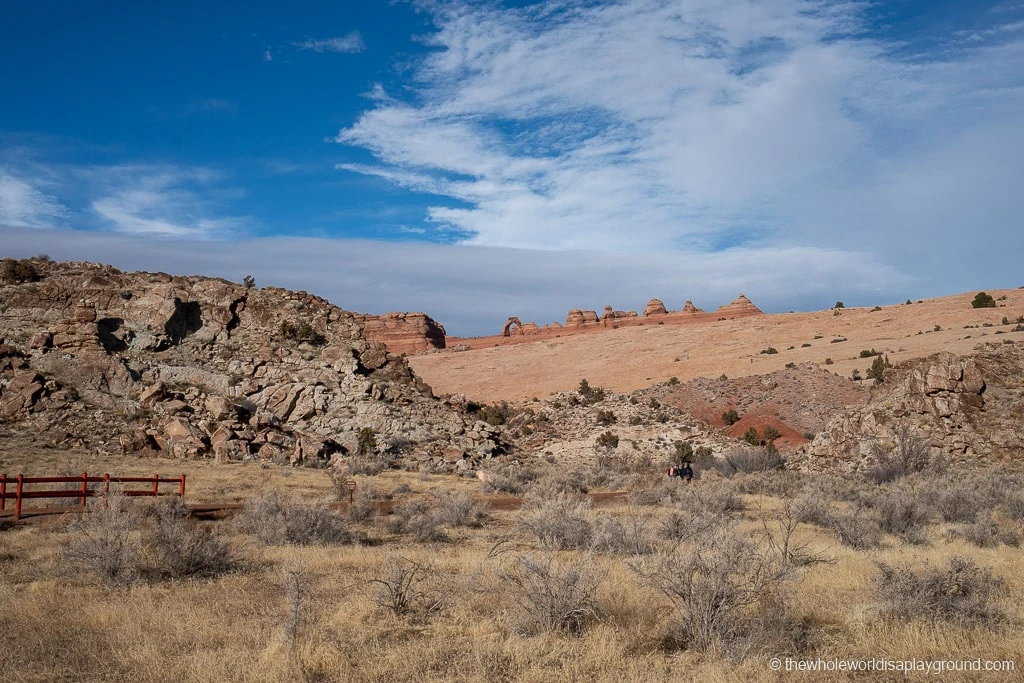
If you decide to skip the hike to Delicate Arch it is still possible to catch a glimpse of the arch, albeit in the distance, by driving further along the Delicate Arch Road to the Delicate Arch viewpoint parking lot. There are two viewpoints, Lower Delicate Arch viewpoint and Higher Delicate Arch viewpoint, and both require short walk from the parking lot. Be aware, the arch is far in the distance. However, it’s worth the drive out if it is your only opportunity to see Delicate Arch for yourself.
Devil’s Garden
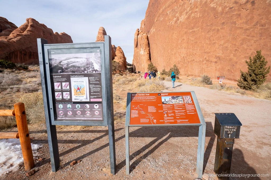
Located at the northern end of the park, Devil’s Garden is like a playground with 7 amazing arches and a towering sandstone tower visible from its trails:
- Landscape Arch
- Double O Arch
- Private Arch
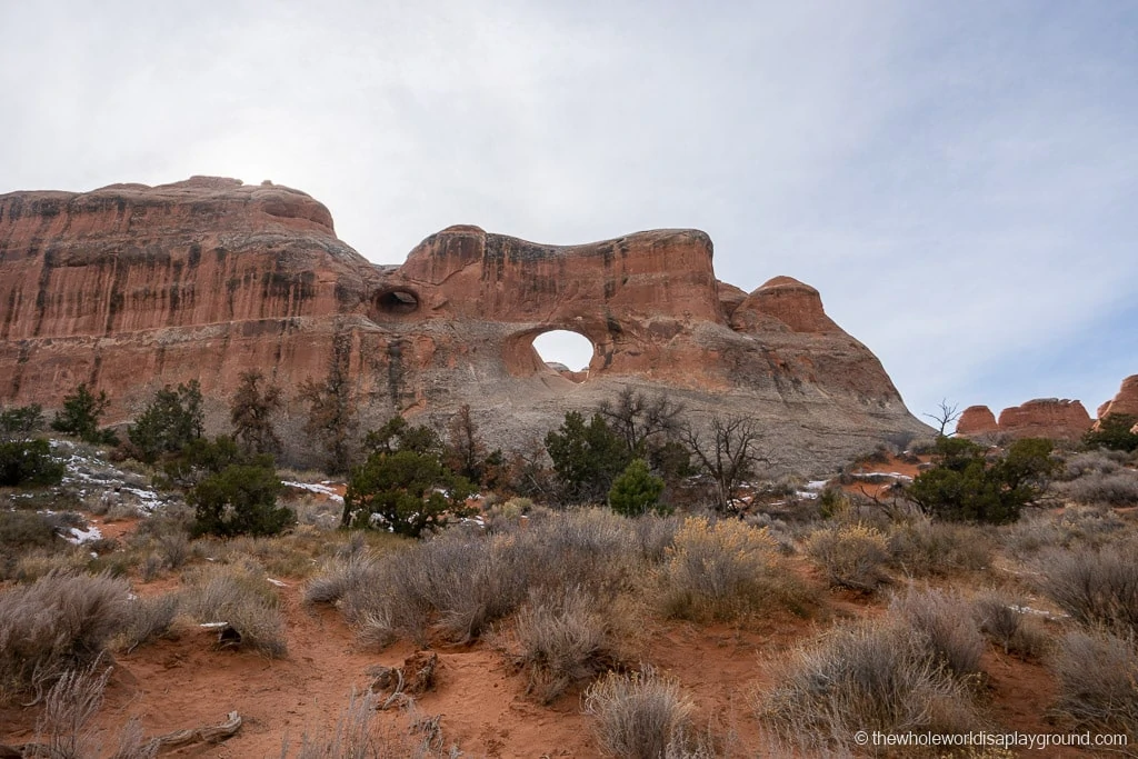
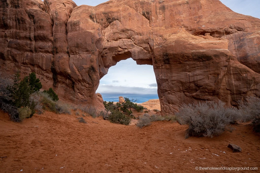
- Pine Tree and Tunnel Arch
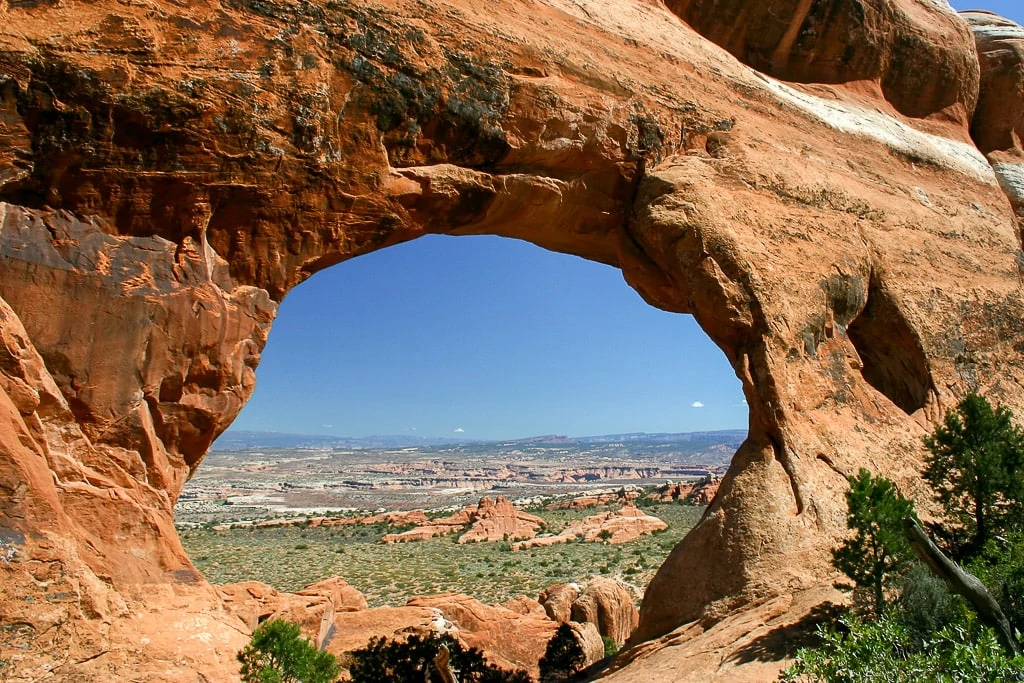
- Navajo and Partition Arches
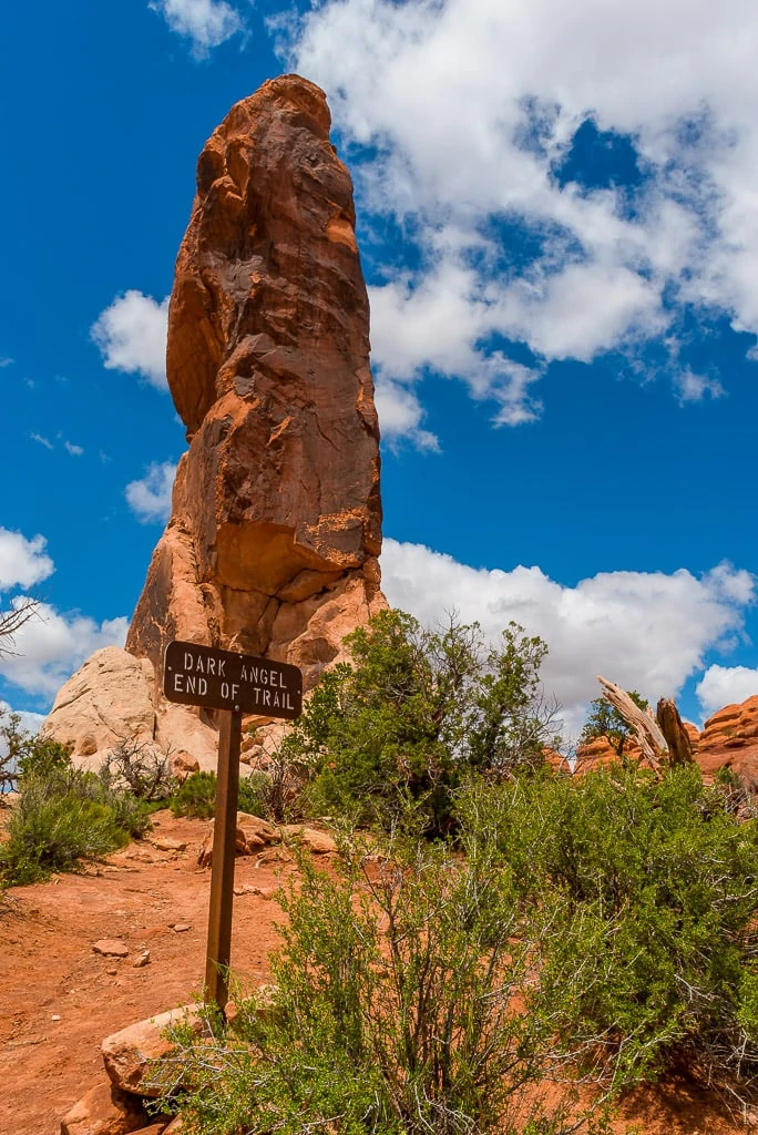
- Dark Angel sandstone pillar
The layout of the Devil’s Playground means you can pick and choose the trails you wish to follow.
The hike is a total of 7.2 miles if you include all the arches and Dark Angel and return via the Primitive trail. We’ve split the hikes by the two most popular routes, Landscape Arch and Double O Arch, so you can plan your time in Devil’s Garden.
2 | Landscape Arch at Devil’s Garden
Hike Length: 1.6 miles
Hike Difficulty: easy
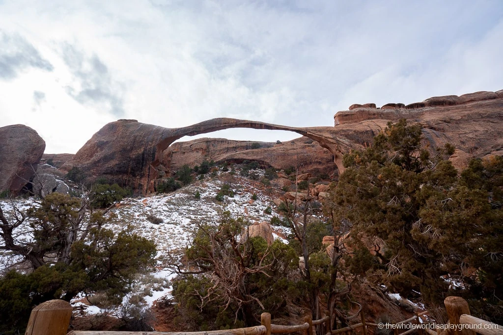
Landscape Arch was one of our favorite arches in the park. Longer than a football field, the arch is one of the longest natural arches in the world and stretches across the sky in an impossibly narrow arch – in its thinnest section it is just 6 feet thick, crazy when you consider it is supporting an arch that is 290 feet long!
The trail is relatively easy and follows a well defined path which meanders over some moderate hills. The arch is viewed from nearby viewing platforms due to an earlier rockfall during which a huge slab of rock fell to the ground.
Pine Tree Arch and Tunnel Arch are located on a side trail of the Landscape Arch trail and the three are easily combined.
Hike Length: additional 0.5 miles off the Landscape Arch trail
Hike Difficulty: easy
Located on a side trail off the Landscape Arch trail, the path to both Pine Tree and Tunnel Arch is well defined with some moderate hills.
Tunnel Rock is visible in the distance from a viewing platform on the trail and cuts through the rock like a tunnel.
After viewing Tunnel Rock, the trail continues towards Pine Tree Arch and finishes a few feet from the arch itself. The views through the arch are beautiful with some great stone formations as the backdrop to the arch.
For a more detailed trail guide, check out our Landscape Arch post – click here to read!
3 | Double O Arch at Devil’s Garden
Hike Length: 4.2 miles out and back (an additional 2.6 miles after reaching Landscape Arch
Hike Difficulty: difficult
The Double O Arch is the second largest arch in the park after Landscape Arch.
After reaching Landscape Arch, the trail becomes more challenging. It starts with a relatively steep climb over slick rock squeezed between two sandstone fins. The trail continues across sand and slick rock to a sandstone fin which is exposed on either side. The views along the way are incredible.
Best Hikes in Arches National Park tip: I have a pretty bad head for heights so the exposed sandstone fine was terrifying – something you might want to consider if you find heights challenging!
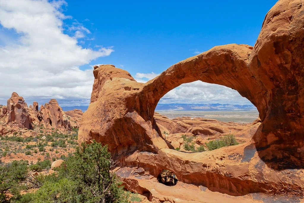
Double O, as the name suggests, is made up of a large arch stacked on top of a smaller arch both of which share the same sandstone fin.
Navajo Arch and Partition Arch are located on a side trail between Landscape Arch and Double O Arch.
Hike Length: additional 0.8 miles off the trail
Hike Difficulty: easy
The side trail to the Navajo and Partition Arches are signposted after reaching the top of the first sandstone fin past Landscape Arch.
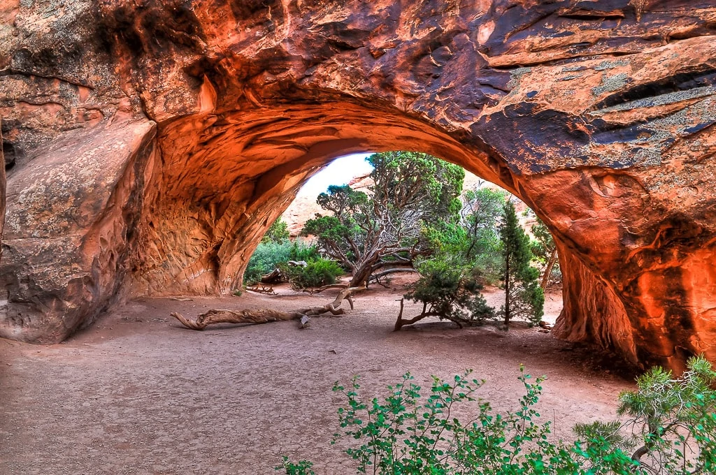
At the crossroads for Navajo and Partition Arch, continue towards Navajo Arch first. The deep arch rises over sand and, as it is well shaded, it’s a great place to stop and rest.
Partition Arch is a short hike from Navajo Arch and the window like Arch shares a fin with Landscape Arch.
Best Hikes in Arches National Park tip: Partition Arch is visible from the Landscape Arch Viewpoint. You will see to the top right of Landscape Arch.
To complete the full collection of arches and notable rock formations in the Devil’s Garden, continue past the Double O Arch to Dark Angel. Instead of returning via the same route to the car park, use the more rugged Primitive Trail. The final arch, Private Arch, is a short detour of the trail.
Hike Length: 0.4 miles to Dark Angel from Double O Arch. 2.5 mile return to car park via the same trail, 3.4 miles to return via the Primitive Trail.
Hike Difficulty: easy
Dark Angel is a 150 foot sandstone tower which is less than half a mile from the Double O Arch. After reaching Dark Angel, you can return to the Devil’s Garden parking lot via the main trail or by joining the Primitive Trail for an extra challenge.
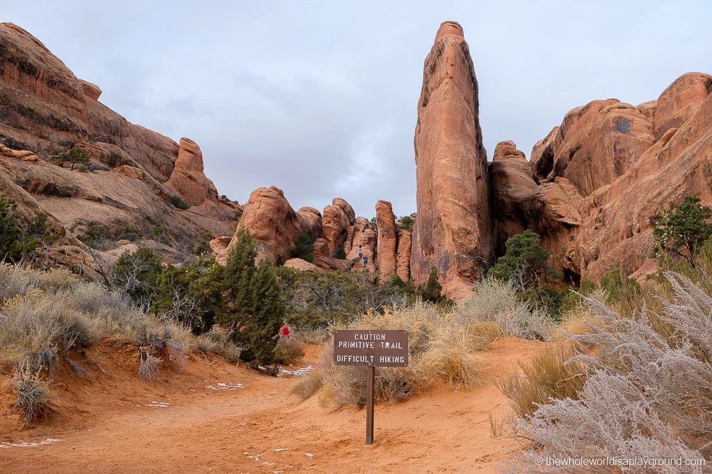
The Primitive Trail is a challenging trail which leads back to the car park at Devil’s Garden. Some parts are exposed and there are some steep slopes as well as a riverbed which may have water. Private Arch, a thick arch on sloping sandstone, is a short walk off the trail.
Best Hikes in Arches National Park tip: the trail to Double O is well marked and has high foot traffic. The Primitive trail is mostly unmarked and, although there are cairns, some have been moved or lead to dead ends.
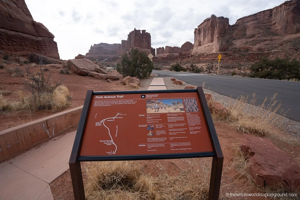
4 | Park Avenue to Courthouse Towers
Best Hikes in Arches National Park tip: this hike can be done as an out and back or, as we did it, a one-way hike from the Park Avenue Viewpoint to the Courthouse Towers viewpoint. For the second option, you will need to arrange a drop off at the Park Avenue Viewpoint and a pickup at the Courthouse Towers Viewpoint. If this doesn’t work, then hiking part of the way is also an option.
Hike Length: 0.9 miles one way
Hike Difficulty: the hike is rated as moderate by the National Parks Service but this is based on a return hike where the steep descent into the canyon has to be ascended on the return.
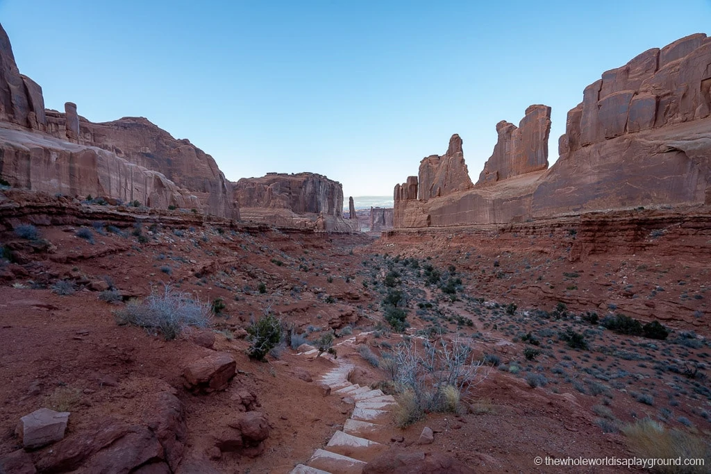
Park Avenue takes its name from the likeness of its rock faces to skyscrapers lining a city street. There are no Arches on the Park Avenue Trail. Instead, it showcases some of the most weird and wonderful rock formations in the park. Our favorites include the Queen Nefertiti, which resembles the profile of an Egyptian Queen, the Organ, Sheep Rock and the Three Gossips.
Best hikes in Arches National Park tip: some of the rock formations are visible from the Scenic Drive and also from the Park Avenue Viewpoint close to the parking lot. Nothing compares to actually walking through the incredible rock formations but it is a good alternative if you are short for time.
5 | Balanced Rock
Hike Length: 0.3 miles
Hike Difficulty: easy
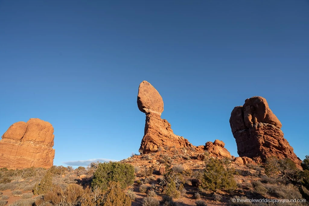
Another Arches favorite, the Balanced Rock is a towering rock formation made up of a sandstone boulder perched precariously on a larger mudstone rock. The gravity defying balancing act is mesmerizing. It’s possible to see the Balanced Rock from the Scenic Drive but the short and easy trail allows the opportunity for an up close view.
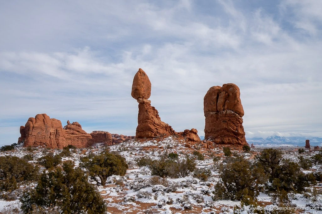
Best hikes in Arches National Park tip: Balanced Rock is truly incredible at sunset against the backdrop of purples, reds and pinks on the horizon.
6 | Fiery Furnace
Hike Length: approximately 2 miles
Hike Difficulty: difficult
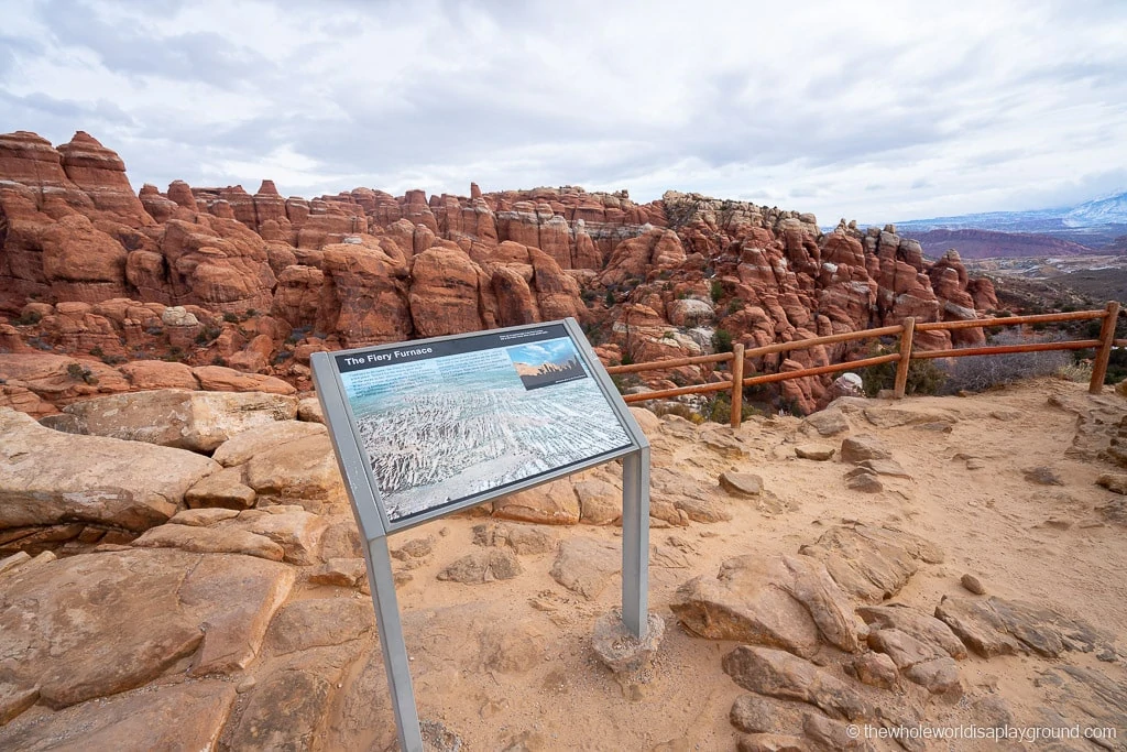
The Fiery Furnace is a 2 mile hike through a maze of narrow canyon walls while experiencing an other worldly landscape. Due to its difficulty Fiery Furnace is not an open trail – hikers can only enter the Fiery Furnace if they obtain a day permit or join a ranger guided hike.
It’s a difficult hike and visitors are expected to navigate narrow ledges, exposed drops, loose sand and protruding sandstone all while dragging themselves through narrow spaces. It’s easy to get lost and disoriented and the landscape is fragile so the area is fiercely protected by the park rangers.
7 | The Windows
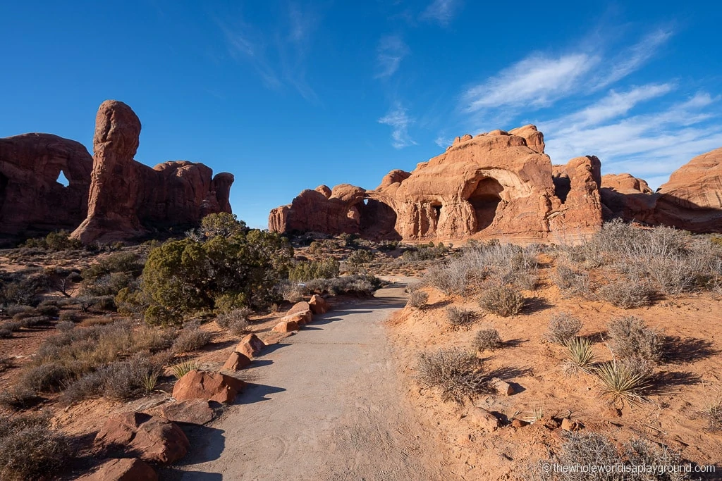
The Windows and the Double Arch trail are located in the same section of the park so it’s likely you will hike them at the same time.
Best hikes in Arches National Park tip: There are two parking lots, one closer to the Windows trail and the second closer to the start of the Double Arch trail. It’s easiest just to leave your car wherever you find a space first and do both trails without returning to the car – the parking lots are small and the trails are really popular so it saves having to search for a second parking space.
Hike Length: 1 mile
Hike Difficulty: easy
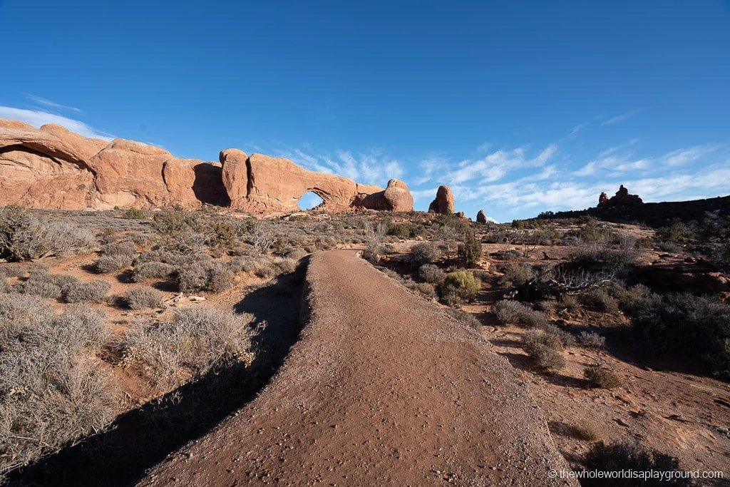
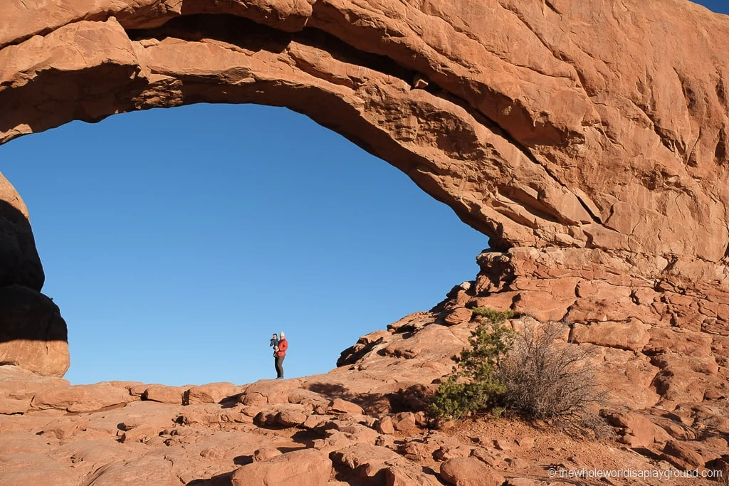
The Windows trail is made up of three arches: the North Window, the South Window and the Turret Arch and, as such, offers great rewards for a short one mile hike! The North and South Windows are the highlight and peek like two eyes on either side of a sandstone nose. The Turret Arch is a smaller and younger arch.
8 | Double Arch
Hike Length: 0.5 miles
Hike Difficulty: easy
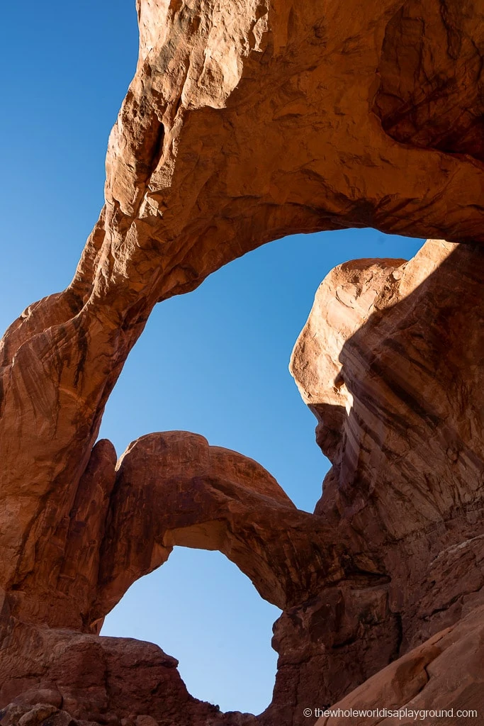
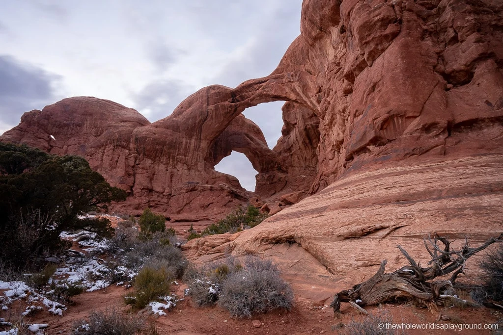
Double Arch is so-called because of the two giant arches springing from a single piece of rock. It is an easy and relatively flat half-mile hike to check out one of the most unique rock formations in the park.
9 | Sand Dune Arch and Broken Arch
Broken Arch and Sand Dune Arch share a parking lot but the trail for Broken Arch veers off across a large meadow.
Hike Length: 0.3 miles to Sand Dune Arch, another 2 miles in opposite direction to Broken Arch
Hike Difficulty: easy
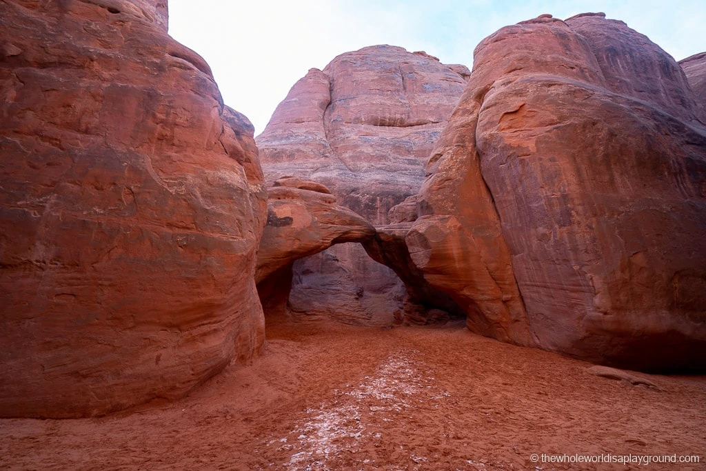
With its deep sands and access through a small slot canyon, the aptly named Sand Dune is a popular afternoon hike as it offers shade.
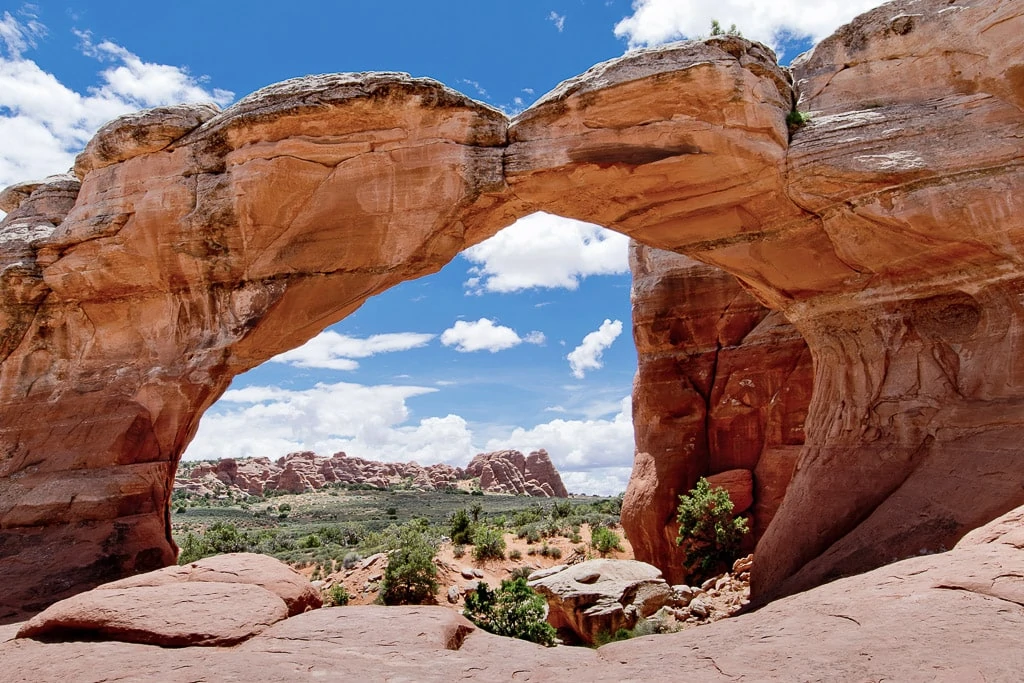
Despite its name, Broken Arch is not actually broken although it is cracked. It’s one of the most picturesque trails and arches in the park.
10 | Skyline Arch
Hike Length: 0.4 miles
Hike Difficulty: easy
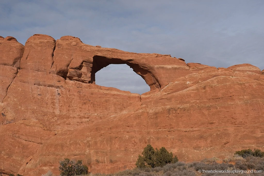
It’s a quick out and back on a flat gravel path to Skyline Arch and the trail is a popular stop on route to the Devil’s Garden. Carved out of a large rock face, the arch resembles a window in the rock and is visible most of the way on the trail.
11 | Tower Arch
Hike Length: 3.4 miles or 0.3 miles each way from the end of a 4 wheel drive road
Hike Difficulty: difficult
One of the most secluded arches in the park, the Tower Arch trail is a great way to escape the crowds at Arches. Spanning 92 foot, Tower Arch is large and beautiful.
If you take the 4 wheel drive option it’s a short and steep hike from where the road ends.
The longer trail is challenging and requires scrambling up a rock wall and navigating sandstone fins and sand dunes. Part of the trail, over 1 mile in the middle, is open and exposed across desert land.
