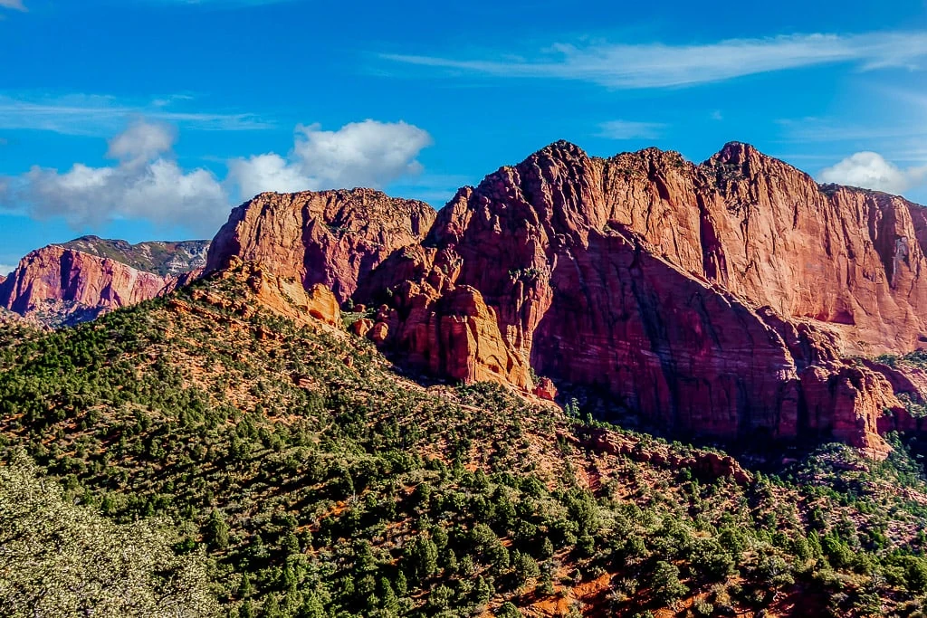
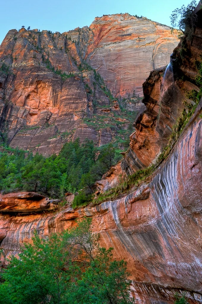
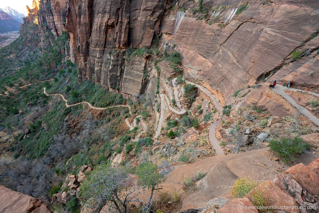
With its soaring red cliffs and iconic rock formations, there are some incredible hikes in Zion National Park. From the magnificent Narrows to the adrenaline-inducing Angels Landing and the stunning views from Canyon Overlook, we loved the variety of trails in Zion.
For those of you planning a trip to Zion, we wanted to share our best hikes in Zion National Park.
The Best Hikes in Zion National Park
Located beside the tiny town of Springdale in Utah, Zion is home to the tallest sandstone cliffs in the world. The red and white cliffs soar over the Virgin River and the Zion Canyon valley floor. Many visitors to Zion come for the variety of hikes that the park offers so it’s worth considering each when planning your Zion itinerary.
The finger canyons and red Navajo sandstone cut through the north west section of the park in the more remote Kolob Canyon section of the park. Zion’s hikes are an equal mix of easy, moderate and challenging and its variety draws millions of visitors each year.
Some of the best hikes in Zion National Park that are currently open in 2024 include:
- Scout Lookout
- Riverside Walk
- Pa’rus Trail
- Upper and Lower Emerald pools
- Canyon Overlook
- Kolob Canyon trails
- Angels Landing, now with the Permit program for trail access
1 | Canyon Overlook Trail
Canyon Overlook is currently open
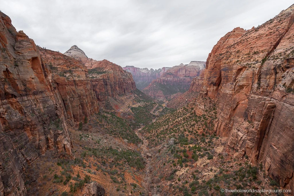
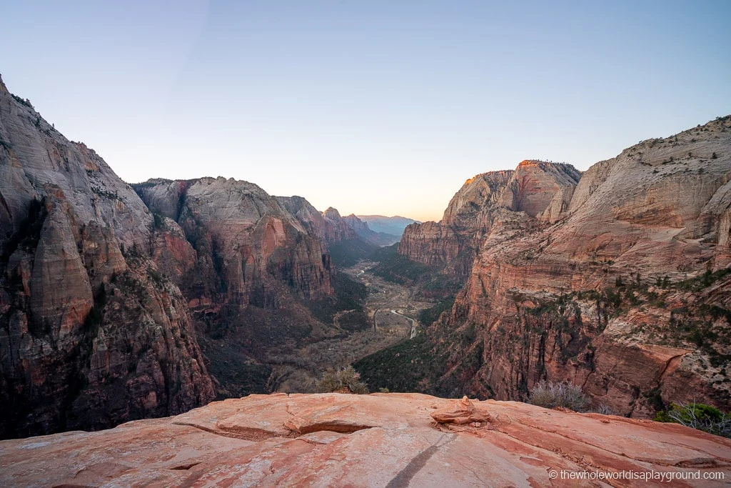
Leading hikers 1,000 feet above the Zion Canyon, the Canyon Overlook trail showcases one of the most spectacular views in Zion National Park. It sits atop the Great Arch, an arch indented in the rock wall, along the Zion-Mt Carmel highway.
- Hike Length: 1 mile round trip
- Hike Time: 1 hour
- Elevation gain: 163 feet
- Hike Difficulty: the trail is classed as moderate by the National Parks Service. We found it a relatively easy trail but the huge drop offs (most are fenced) and the uneven trail surface likely contribute to the moderate rating.
- Shuttle Stop: Canyon Overlook is not on the shuttle route. The trail head is accessible by car on the Zion Mount Carmel Scenic Highway. Parking is limited and it can take a while to secure a space at busier times.
This easy 1 mile trail starts with a climb up some stone steps which take care of most of the elevation gain on the trail. It then flattens out to follow a narrow path overlooking the Pink Creek Narrows slot canyon. Eventually the trail leads to the Canyon Overlook Viewpoint where the views of the Zion Canyon and some of the park’s most famous rock formations are spectacular.
The view at the end of the Canyon Overlook trail is incredible making this one of our favorite hikes in Zion!
Best hikes in Zion tip: there are some exposed rock ledges with huge drop offs on this hike so make sure to mind your step.
Where to stay at Zion National Park
There are two options for staying at Zion National Park – either in the park itself
In Zion National Park
- Camping: There are two campsites, Watchman Campground and South Campground, within the park. Both campsites are located near the visitors center at the South entrance. At the Watchman sites are released for reservation on a 6 month rolling basis while in the South Campground it is on a 14 day rolling basis.
- Zion Lodge: located deep within the park the historic lodge offers a mix of cabins and hotel rooms. We’ve stayed in the Lodge and it’s a nice traditional option which really allows you to immerse yourself in the park. The lodge fills up well in advance so it’s worth checking your dates well in advance of your trip. We highly recommend staying here as its an incredible location – check prices here!
Springdale
With limited accommodation in the park itself visitors to Zion typically stay in Springdale, a small town next to the south entrance. The Springdale Shuttle connects Springdale to the Zion Visitors Center and the Zion Shuttle so it is just as easy to stay adjacent to Zion and there are more food options in the town.
- Cable Mountain Lodge: great selection of family friendly rooms, excellent food and an outdoor pool overlooked by the Zion Watchman! Its location, adjacent to the Zion Visitors Center, means you can hop on the park shuttle bus and reach any of the trails within minutes. Our Zion favorite – check prices now!
- Flanigan’s Inn: just 10 minutes walk from the Zion entrance and located on a Springdale Shuttle stop, Flanigan’s Inn is a reasonably priced option with good sized clean rooms, a pool and a hot tub – check prices now!
2| Scout Lookout and Angels Landing
Scout Lookout and Angels Landing are currently open
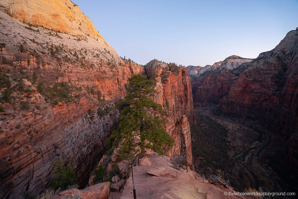
Angels Landing is glorious, challenging, dangerous and utterly compelling. Along with the Narrows, Angels Landing is one of Zion’s iconic hikes and draws thousands of hikers every day.
Given its dangers, Angels Landing is not for everyone. Fortunately, the trail can be split into two parts: the still challenging portion up to Scout Lookout and the final ascent to Angels Landing. This means most hikers can experience a part of the trail.
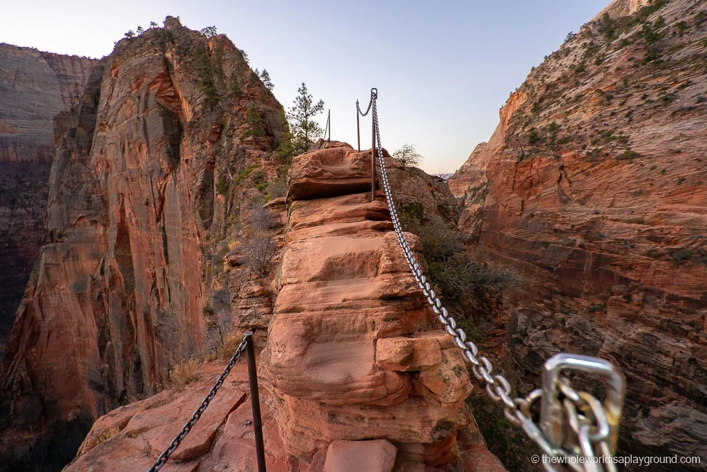
Best hikes in Zion tip: the final ascent to Angels Landing includes the challenging Hogsback spine, a narrow rock ledge with huge drop offs on either side and chains to support hikers. Those with younger kids (up to at least pre-teen depending on hiking competency) and those who struggle with heights should aim for Scout Lookout.
- Hike Length: Scout Lookout is around 4 miles round trip and Angels Landing continues for another 0.5 miles.
- Elevation Gain: Scout Landing has an elevation gain of approximately 1,000 foot with the final stretch to Angels Landing adding an extra 500 foot gain.
- Hike time: 1 hour to Scout Lookout, another 1/1.5 hours return to Angel Landing depending on crowds.
- Hike Difficulty: Angels Landing is classed as strenuous by the National Parks Service. I found the Scout Lookout portion a challenging hike due to the huge elevation gain.
- Shuttle Stop: The Grotto
Best Hikes in Zion tip: on our last visit to Zion we took our 2-year-old and 9 month old along. After making it to Scout Lookout Dave continued to Angels Landing while we ventured a little further on the West rim until he returned.
Scout Lookout
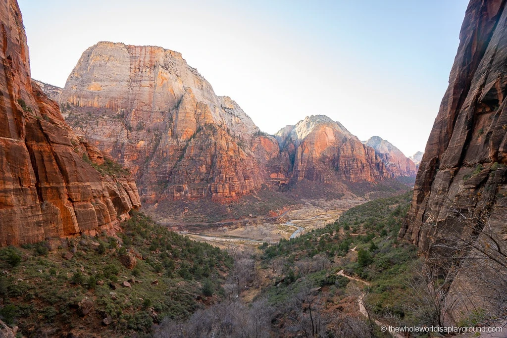
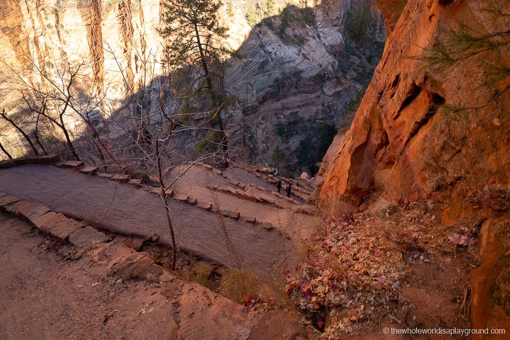
The trail to Scout Lookout covers the first portion of the Angels Landing hike. Both the iconic Walter’s Wiggles and the incredible views of Zion Canyon make it a popular hike in its own right.
The first part of the hike is on the West Rim trail and it starts off relatively flat before it begins to wind up the hillside via long switchbacks. It levels out at a shaded canyon known as Refrigerator Canyon and the combination of shade and flat ground provide a good chance to catch your breath. The final stretch of the trail, Walter’s Wiggles, is quite strenuous but the views at the top are fantastic reward!
I continued along the West Rim with the kids while Dave made the final approach to Angels Landing.
Angels Landing Permit
To access Angels Landing from Scout Lookout you will need a permit. There are tw
There are two ways to get a permit to hike Angels Landing: the seasonal lottery or the day before lottery.
Full information on each lottery is available on the official Zion National Park website. The seasonal lottery opens at various times throughout the hiking season, while the day before lottery offers hikers the option to grab a permit when they visit the park.
Angels Landing
After Scout Lookout it is a relatively straightforward hike across the saddle until you reach Hogsback. Hogsback is the steep, narrow section with chains that has massive drops on either side and is often referred to as the spine.
Best hikes in Zion tip: you really need to be comfortable with heights and exposed edges as one wrong step here could be fatal.
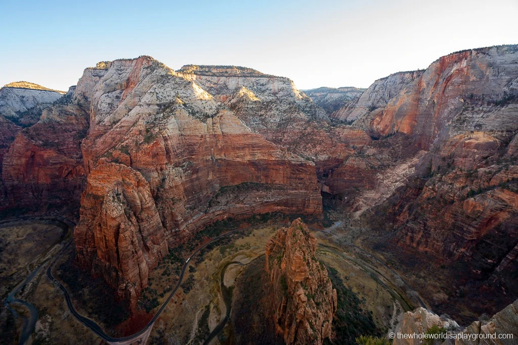
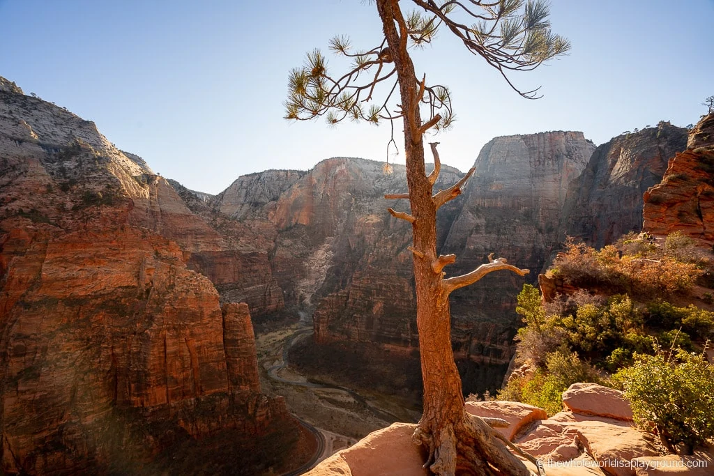
After conquering the Hogsback, the final part of the trail is known as the Landing where hikers are rewarded with breath taking views over Angels Landing.
Best hikes in Zion tip: if you do decide to continue to Angels Landing, we recommend starting the trail as early as possible. The Hogsback section is more challenging when there are crowds and, as only one hiker can navigate the narrow ledge, the bottlenecks can last for ages.
3 | Observation Point
Observation Point via East Rim trail from Weeping Rock is closed due a massive rockfall. This is a long term closure that has been in place since 2021. The East Mesa trail is an alternative route to Observation Point although the trail head can be difficult to access. It is located in a remote part of Zion which is only accessible via dirt roads. The trail is 6.4 miles return and takes about 3 hours in total.
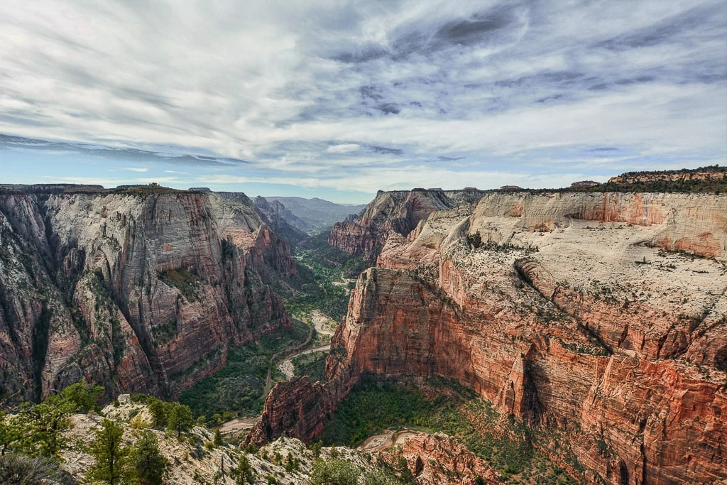
Observation Point offers one of the most magnificent views in Zion National Park. It sits atop the 6,508 foot peak of Mount Baldy and has panoramic views of the entire Zion Canyon. Observation Point showcases all of Zion’s finest attractions including Angels Landing and the Three Patriarchs.
- Hike Length: 8 miles round trip
- Elevation Gain: 2,100 feet
- Hike Time: 4 to 6 hours depending on fitness
- Hike Difficulty: Observation Point is a strenuous trail
- Shuttle Stop: Weeping Rock
Observation Point shares its trail head with Weeping Rock, another beautiful Zion landmark. It follows the East Rim trail up and out of the canyon before switching to the Observation Point trail after Echo Canyon.
The trail quickly climbs above the canyon via a series of switchbacks. It flattens out around Echo Canyon which is about 1,000 feet above the canyon floor and is one of the most beautiful parts of the trail. The path continues to zigzag up the mountainside before reaching the soaring upper White Cliff formations. Eventually the elevation gain eases for the last stretch of the hike before reaching Observation Point.
The view from Observation Point is truly breath taking (although the elevation gain on the trail will likely already have taken your breath away!) and it is incredible to look down upon the Angels Landing trail in its entirety.
4 | Riverside Walk
Riverside Walk trail is currently open
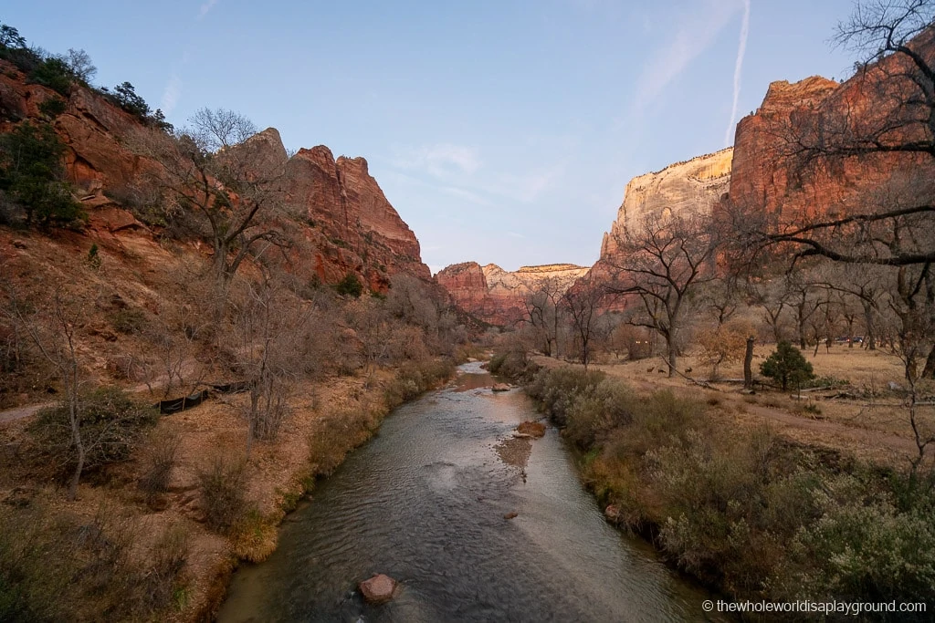
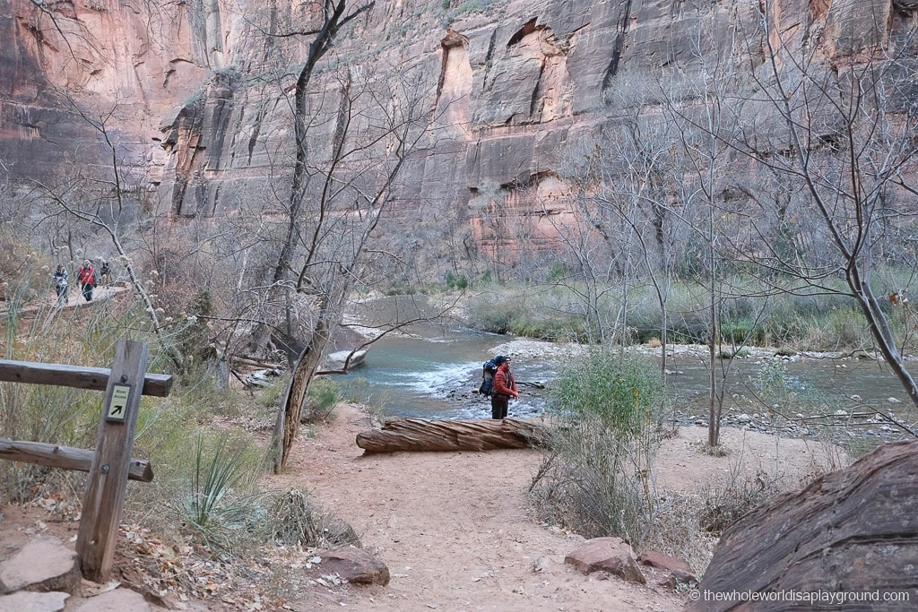
Riverside Walk is a leisurely hike showcasing the beautiful Zion scenery and soaring canyon walls alongside the Virgin River. The trail leads to the start of the iconic Zion Narrows hike and is one of the most accessible and family-friendly trails in Zion.
- Hike Length: 2 miles round trip
- Hike time: 2 hour return
- Hike Difficulty: the hike is rated as easy by the National Parks Service.
- Shuttle stop: Temple of Sinawava
- Wheelchair Accessibility: along with the Pa’rus trail, Riverside Walk is one of the two trails listed as wheelchair accessible in Zion. The first 0.4 miles of the trail are accessible. Beyond this, there are short sections which exceed a 20% gradient or where the path narrows to 3 feet in width. The winds can also blow sand on parts of the trail.
Riverside Walk leads up the canyon past the tall weeping walls, lush vegetation and the occasional waterfall! A dirt trail runs path runs alongside the paved trail and we spent some time deer spotting through the trees! There are even a few spots along the trail from which it is easy to access the river.
The trail continues until it reaches the start of the Zion Narrows. The river is flat and wide at this point so it is possible to hike up the river a little before returning back to the Temple of Sinawava via the same trail you hiked out on.
5 | The Narrows
Trail opening is dependent on water flow. The Narrows closes at times of high flow (water flow must not exceed 150 cubic feet/second) which is typically during spring snow melt. The Narrows also closes if there is a risk of flash floods in the canyon. There are also regular warnings for a toxic Cyanobacteria Bloom. Check the trail status on the official Zion website or at the Visitors Center for latest information.
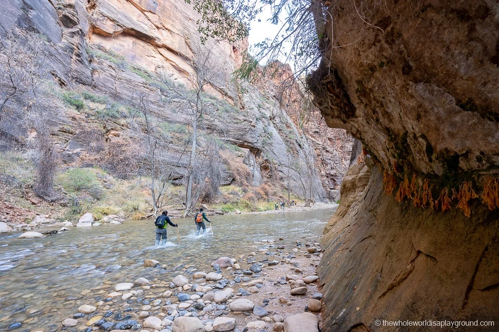
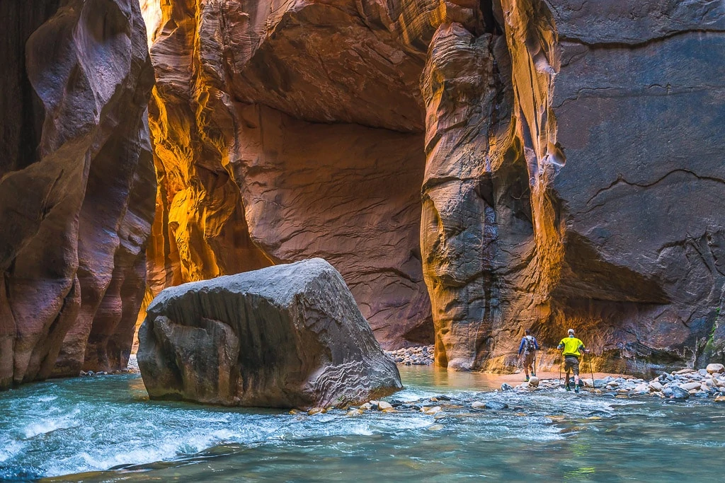
Along with Angels Landing, the Narrows is one of the most iconic Zion hikes. It begins at the end of the Riverside Walk trail and follows the Virgin River into a narrow slot canyon. Hikers trek through water for much of the hike.
Best hikes in Zion tip: this refers to the Bottom Up Narrows Day Hike accessible at the end of the Riverside Walk trail. The Top Down Thru Hike requires a permit.
- Hike Length:up to 9.4 mile out and back trail depending on how far you go
- Hike Time: dependent on hike length. It is around 10 or 11 hours return to Big Spring and Wall Street is around 2 to 3 hours form the start of the trail.
- Hike Difficulty: the hike is classified as strenuous by the National Parks Service.
- Shuttle stop: Temple of Sinawava
The highlights of the Narrows include Mystery Falls, Orderville Canyon and the iconic Wall Street with its narrow passageways and towering canyon walls. The furthest point on the Bottom Up hike is Big Springs where hikers turn around and make their way back to the Riverside Walk.
The Narrows is an out and back hike so plan ahead with where you want to turn around: Mystery Falls is 1.5 miles from the shuttle stop, Wall Street is 2.5 miles and Big Springs is 4.7 miles out and back.
Always make sure to check in with the rangers for conditions on the trail as flash floods present a huge danger on the Narrows trail.
Best hikes in Zion tip:: depending on the time of year, you may need some specialist gear to hike the Narrows – lots of visitors rent sticks, boots and socks and wet gear from the Zion Adventure Company. Summer is a great time of year for hiking the Narrows when the water levels are lower and the temperatures warmer.
6 | Pa’rus Trail
The Pa’rus Trail is currently open
The Pa’rus trail is an easy and flat paved trail which runs from the South Campground to Canyon Junction. It follows the Virgin River, crossing bridges and passing through wide meadows and wildflowers.
- Hike Length: 5 miles round trip although can be made shorter by starting at the shuttle stops 2 or 3
- Hike time: 1 to 2 hours
- Hike Difficulty: the hike is rated as easy by the National Parks Service.
- Shuttle Stop: the trail starts at the Zion Canyon Visitor Center but can be shortened by starting at shuttle to Stop 2 or 3.
- Wheelchair Accessibility: along with Riverside Walk, the Pa’rus trail is one of the two trails listed as wheelchair accessible in Zion. The path is mostly smooth concrete although there is an asphalt section close to the Visitors Center which can have some cracks. Two short sections of the trail, totaling around 100 feet, have a 14% and 18% slope.
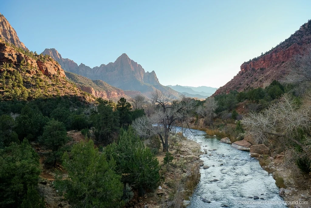
The trail is flat and easy with great views from its vantage point on the floor of the Zion Canyon. It showcases some of Zion’s best landmarks including the Watchman and the Towers of the Virgin.
Best Zion hikes tip: the Pa’rus trail is the only dog friendly hike in Zion. It’s also great for biking and running.
7 | The Subway Left Fork(Permit Only)
Permit Only: see Recreation.gov for details on booking the permits
This refers to the Bottom Up Subway Hike accessible from the Left Fork trail head on the Kolob Terrace Road.
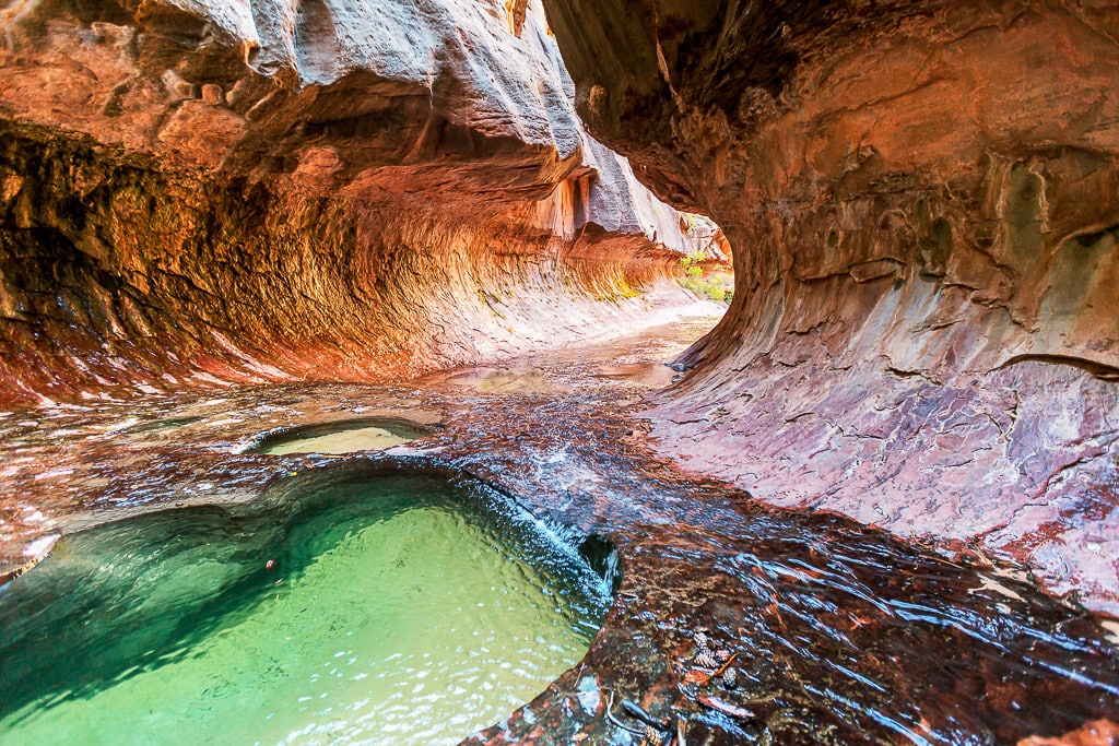
The Subway is a beautiful slot canyon with cascading waterfalls, dinosaur tracks and a the iconic tunnel-like tubular subway formation.
Best hikes in Zion tip: there are two ways to explore The Subway, either from the Bottom Up or the Top Down, and both require a permit. The Bottom Up route is a strenuous, non technical 9 mile round trip while the Top Down route is a 9.5 mile adventure that requires rappelling skills and cold swims.
- Hike Length: 9 mile round trip
- Hike time: 6 to 10 hours
- Elevation Gain: 1,300 feet (400 feet descent to the bottom of the canyon followed by a gradual 600 feet gain through the canyon.
- Hike Difficulty: The Subway is a strenuous hike.
- Shuttle Stop: non on the Zion shuttle route. The trail begins at the Left Fork trail head on the Kolob Terrace Road.
- Permits: permits for The Subway are allocated by advance lottery from April through October and by advance reservation during the rest of the year. Advance lottery applications must be submitted 3 months in advance and individuals can submit one entry a month for three dates. A non refundable $6 fee applies. Winners are notified on the 5th of the following month e.g April hikes can be applied for in the January lottery and winners will be notified by February 5th. Any unused permits will be allocated via the calendar reservation system. If you haven’t been successful and still want a spot, try the last minute drawing in the week before your proposed hike date and, finally, try for a walk in permit the day before your hike. Permits must be picked up at the Visitors Center and are available one day in advance. Permits cost $10 per hiker.
The Bottom Up subway trail begins with an easy half mile level trail before descending 400 feet to the bottom of the canyon. The trail has become more developed in recent years and alternates between the path, the stream water and navigating boulders.
Best hikes in Zion tip: it’s impossible not to get wet on this trail so embrace the stream sections as you meet them!
After about 2 miles in the canyon the trail gets interesting with picturesque waterfalls cascading over red travertine terraces, two higher waterfalls and a narrow crack in the rock which funnels the stream. Soon after, you will reach the magnificent lower subway and the iconic spot where the walls of the canyon narrow. This marks the turning point of the trail and hikers retrace their steps back through the canyon.
Always make sure to check in with the rangers for conditions on the trail as flash floods present a huge danger on the Subway trail.
Best hikes in Zion tip:: depending on the time of year, you may need some specialist gear to hike the Subway– lots of visitors rent sticks, boots and socks and wet gear from the Zion Adventure Company. Summer is a great time of year for hiking the Subway when the water levels are lower and the temperatures warmer.
8 | Upper Emerald Pools
The three tiered Emerald Pools are made up of the Lower, Middle and Upper Pools which are connected via a series of trails.
Best hikes in Zion tip: the Upper Emerald pools are accessible via two trails. They can be reached in order of Lower, Middle and Upper pools via the Lower Emerald Pools Trail. The second route takes the Kayenta Trail from the Grotto to the Middle Pool and hikers have the option to make side hikes to the Upper and Lower Pools.
- Hike Length: 2 mile round trip
- Hike Difficulty: the hike is rated as moderate by the National Parks Service
- Shuttle Stop: The Grotto
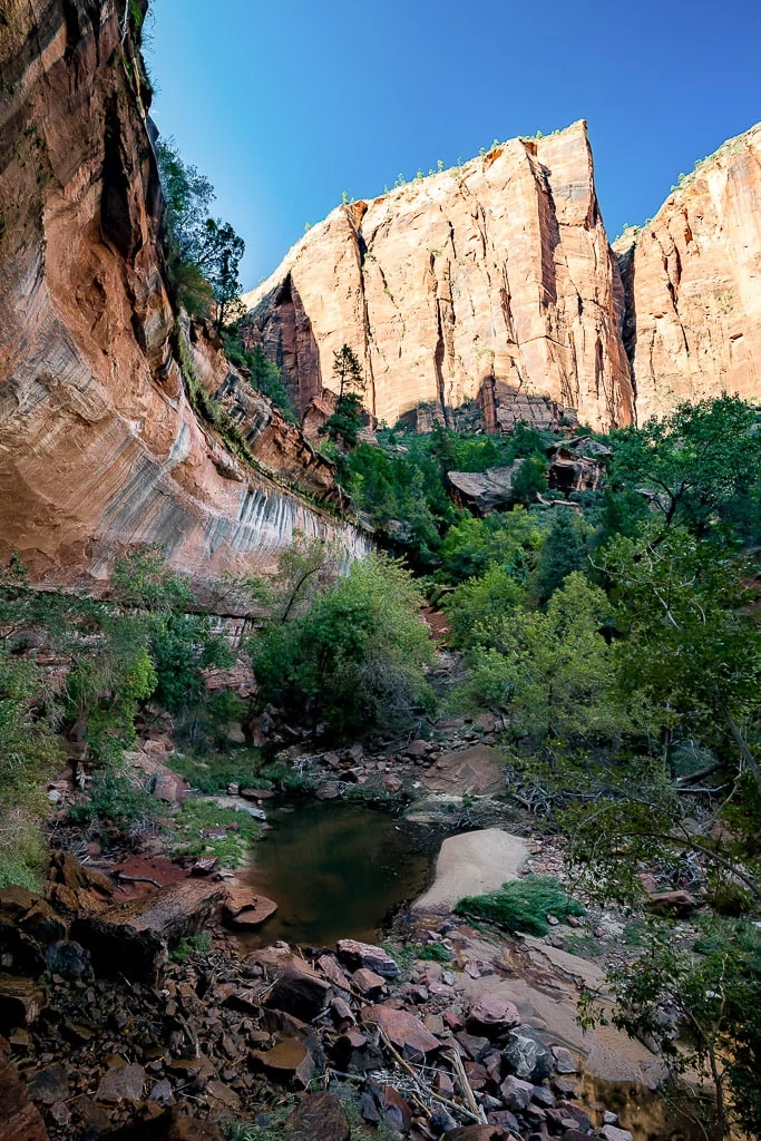
The trail starts with a small climb overlooking the river before entering the Emerald Pool area through the small canyon. The landscape changes with weeping rocks and small waterfalls emerging from the rocks. The Middle Pool is the closest and the most picturesque and then it is a 150 foot climb to the Upper Pool which sits at the foot of a massive cliff. You can check out the Lower Pool on the return hike before taking the Kayenta Trail back to the Grotto.
Best hikes in Zion tip: swimming is not permitted in the pools
9 | Timber Creek Overlook (Kolob Canyons)
Kolob Canyon section of Zion is opened
The Kolob Canyon section of Zion, in the North West of the Park, is renowned for its finger canyons and red sandstone. It is much less visited than the Zion Canyon section of the park but its popular with hikers who seek to escape the crowds and experience a different side of Zion National Park.
- Hike Length:1 mile round trip
- Hike time: 1 hour
- Hike Difficulty: the hike is rated as moderate by the National Parks Service
- Shuttle Stop: the Zion shuttle doesn’t service the Kolob Canyons section of the park. Parking for the trail is available at West end of parking lot at end of Kolob Canyons Road.
The trail is a relatively flat, following a small ridge, and there are spectacular views of the valley and the mountain ridge.
10 | Weeping Rock Trail
Despite being the shortest trail in the park, the Weeping Rock is a Zion icon.
The Weeping Rock trail ahs suffered a number of closures in recent eyars due to rockfalls. As of 2024 the trail is closed due to a 2023 rockfall.
- Hike Length: 4 miles
- Hike time: 1 hour
- Hike Difficulty: easy
- Shuttle Stop: Weeping Rock (shuttle stop is also closed)
The easy trail leads to the apparently weeping alcove shaped rock surrounded by hanging gardens. A small stream runs below catching the water sprinkling from the rock.
11 | West Rim Trail
Lava Point and the West Rim roads are subject to seasonal closure but make sure to check the latest conditions before making plans.
A Zion classic, the West Rim trail is a long distance hike which descends from Lava Point to the Grotto showcasing some of Zion’s most beautiful scenery along the way. With a distance of 16.2 miles to be covered the trail can be completed as a challenging day hike or a less strenuous 2 day hike, spending a night at a trail camp along the way. A permit is required for camping.
Best hikes in Zion tip: the trail can also be done in reverse if your knees prefer the climb out of the canyon.
- Hike length: 17 miles from Lava Point (the closest road access to the trial head) or 15.8 miles if starting from the actual West Rim trail head
- Hike time: 9 hours on average but up to 16 depending on pace
- Elevation Change: the trial descends 3,156 feet. There is also around 1,500 feet of elevation gain along the trail.
- Hike Difficulty: easy
- Shuttle Stop: the Grotto. This is a point to point hike so you will need to arrange transportation to return to your vehicle. If you are traveling as a group then arrange to leave transportation at either end of the trail. Alternatively, you can rent a shuttle to drop you off at Lava Point or pick you up at the Grotto. Most visitors use Zion Adventure Company.
The views are beautiful from Lava Point and, from there, it is around 1.2 miles to the West Rim trail head. The trail traverses across Horse Pasture Plateau before descending in and out of Potato Hollow. The West Rim then follows the west rim of the plateau and descends towards Angels Landing and the Grotto. The best views are from Cabin Spring where the West Rim is splendid in its full glory.
Hikers share the trail with the Angels Landing and Scout Lookout crowds after reaching Scout Lookout and descending via Refrigerator Canyon and Walters Wiggles.
Best hikes in Zion tip: it’s possible to add the final stretch of Angels Landing onto the hike at the point where you reach Scout Lookout. We prefer to do Angels Landing separately and take advantage of the lower crowds at the beginning of the day.
